
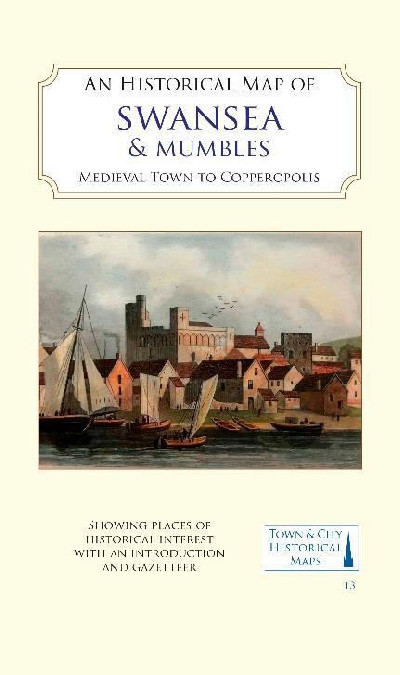
Historical Map of Swansea & Mumbles, An – Medieval Town to Copperopolis
£10.99
Out of stock
Map lliw llawn, wedi'i seilio ar fapiau OS ar ffurf ddigidol o ardal Abertawe o tua 1919, yn cynnwys troshaen yn dangos gorffennol canoloesol yr ardal ac adeiladau pwysig. Cynhwysir hefyd fap o'r Mwmbwls a'i gastell canoloesol.
A full colour map, based on digitised OS maps of Swansea of about 1919, with its medieval past overlain and important buildings picked out. The map includes an inset map of Mumbles and its medieval castle.
Additional information
| Dimensions | 206 × 127 × 5 cm |
|---|---|
| Publication Date | 31/12/2022 |
| Publisher | Historic Towns Trust |
| Author |

Reviews
There are no reviews yet.